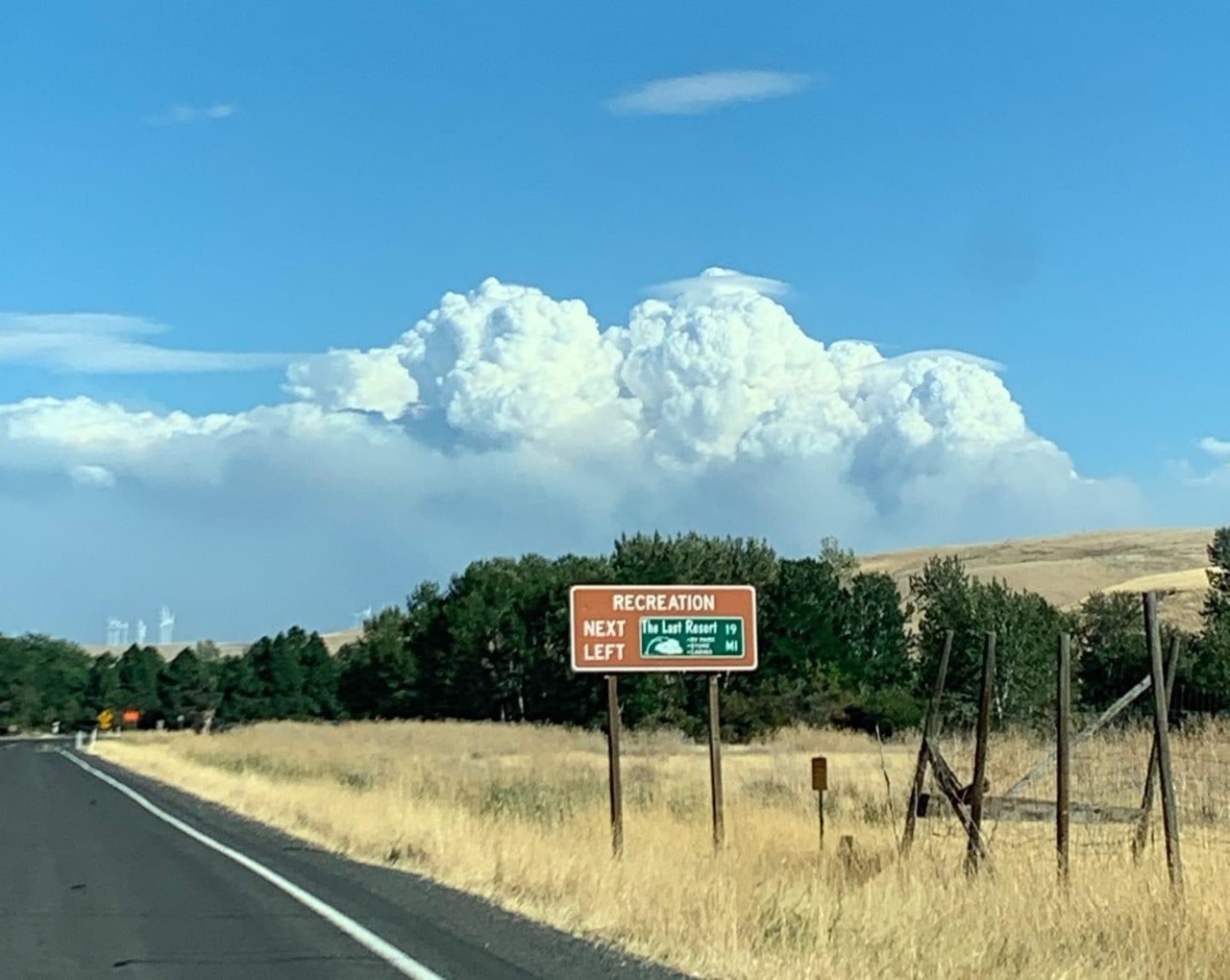
— The Green Ridge Fire added a total of 4,869 acres yesterday; the fire is now 20, 259 acres in total.
Gusty winds on Saturday caused the fire to grow towards the Northeast, where it met the containment line for the Lick Creek Fire.
Diagonally to the southeast along the Tucannon River Trail and north along the bear creek trail to the intersection of the 40 road.
•Starting from the northwest area of the Columbia County line on the Blind Grade Road extending south to Umatilla National Forest boundary east to the Baker Pond Campground.
The west side continues to follow the west forest boundary south to where Walla Walla Rd and N Touche Road intersect, diagonal to Midway Campground at Skyline Drive.
